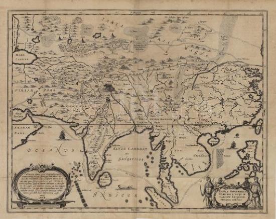
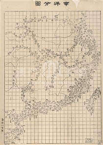
Nicolas Sanson, “father of French cartography”, made the map, and it was then included in L’Asie en plusieurs cartes nouvelles first published in 1652. Sanson painted many exquisite maps, so he was introduced to the French king Louis XIII to be the royal geographer. He gave lessons in geography to Louis XIV, therefore, having the chance to access more geographic data. The data sources of this map are from the geographic literature collected by Jesuit Missionaries in China, so the depiction of China especially the inland areas is far more accurate than the previous Chinese map made by Europeans. Colored lines are used to distinguish between the provinces and the national territories. Except for the confusing position between Sichuan (SVCHVEN) and Guizhou (QVICHEV), the position and outline of the other provinces are closer to reality than those maps in previous time. Particularly, Yunnan (YVNNAN) was marked on the correct position. It is worthy to notice that Pecheli was directly labeled as Beijing (PEQVIN) and Tolanchia was marked as Nanjing (NANQVIN). The location and trend of the Yellow River, the Yangtze River and the Pearl River are approximate to the reality. The shape of the eastern coastline of China has been greatly improved and its overall profile is also very close to that in modern map. Taiwan Island (I. de Pakan ou Formosa) was drawn as a complete island rather than three separate islands in a variety of previous maps. The shape of Hainan (Aynan) and the distance between Hainan and Leizhou (Luicheu) Peninsula are also more accurate. Macau is denoted by the symbol drawn on an island in the middle of the Pearl River estuary. To the right of the symbol follows the earlier name that Portuguese called —Amacao, the pronunciation of which is corresponding with that of the Chinese name “A-Ma Port”. The land in the northeast Macau was marked with “Lampaca”. In fact, it was the ancient name of an island west of Macau, which was one of the former anchorages for European vessels before Macau became a commercial port.
This map is copied from the 1652 edition of L’Asie en plusieurs Cartes nouvelles collected in Harvard University Library. (G2200 .S3 1653)
Reference:
[1]. Szczesniak, B. (1956). The Seventeenth Century Maps of China. An Inquiry into the Compilations of European Cartographers. Imago Mundi, Vol. 13, pp. 116-136.
[2]. Pedley, M. (1981). The Map Trade in Paris, 1650-1825. Imago Mundi, Vol. 33, pp. 33-45.
[3]. Petto C. (2007). When France was king of cartography: the patronage and production of maps in early modern France. Lanham: Lexington Books.
[4]. 張廷玉等撰. (1739). 明史( 卷四十: 志第十六, 地理一). 北京 : 武英殿.
Informações relevantes
Data de atualização: 2020/09/09


Comentários
Comentários (0 participação(ões), 0 comentário(s)): agradecemos que partilhasse os seus materiais e histórias (dentro de 150 palavras).